A low-cost, replicable methodology that integrates remote sensing and household surveys to estimate both the residential population and its spatial distribution in an African urban setting.
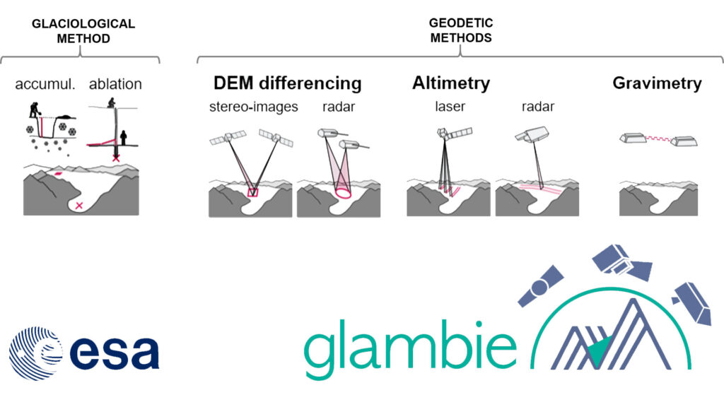
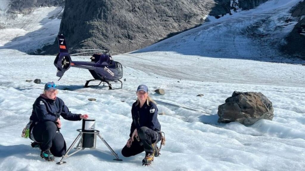
Mass balance estimation of patagonian glaciers using free open remote sensing sources
It is possible to measure mass loss in Patagonian glaciers using free open remote sensing sources, despite them appearing stable when observed with satellite images.
Assessment of Indian Himalayan peatlands: a comprehensive study to estimate the extent of peatland distribution and impact of climate change on it.
The study aims to assess the extent of peatland distribution in the Indian Himalayas and investigate how changing climatic conditions affect these ecosystems.
“Treeline Species at Risk! Exploring Climate Vulnerability in the Indian Himalayas Using GIS
This study models tree line species distribution and climate vulnerability in the Indian Himalayas, emphasizing ecological importance, community dependence, and the role of sustainable practices.