NAME:
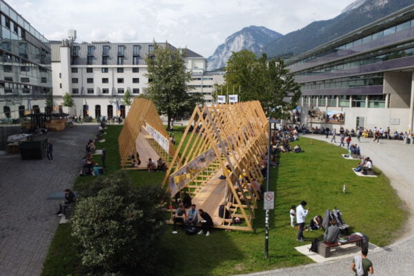
SOWI - Garden
BUILDING:
SOWI
FLOOR:
0
TYPE:
Garden
CAPACITY:
2000
ACCESS:
Public Access
EQUIPMENT:
---
The two TanDEM-X satellites have been acquiring X-band radar data for the generation of digital elevation models (DEMs) starting in late 2010. For Fedchenko Glacier, one of the longest glaciers outside the polar regions and the largest glacier of the Pamir Mountains, an abundant sequence of elevation data is available with several acquisitions per year distributed over all seasons. Making use of the data of the Shuttle Radar Topography Mission the observations can be extended back to the year 2000.
This wealth of data can be used two-fold: firstly, annual elevation change rates can be derived using data with comparable properties regarding geometry and season in order to minimise systematic effects, which can be, secondly, analysed making use of the complete data base. In the first decade of the 21st century, Fedchenko Glacier experienced a typical elevation decrease in the lower parts and an elevation increase in the upper accumulation zone. In contrast, the glacier has thinned over its whole extent since the first TanDEM-X acquisitions. One of the main error sources for the determination of surface elevation changes is the effect of radar penetration into ice and snow. In order to assess its magnitude, especially the repeated acquisitions in late summer/early fall reveal valuable insights into short term changes in penetration properties due to the transition from melting to freezing conditions.

We and use cookies and other tracking technologies to improve your experience on our website. We may store and/or access information on a device and process personal data, such as your IP address and browsing data, for personalised advertising and content, advertising and content measurement, audience research and services development. Additionally, we may utilize precise geolocation data and identification through device scanning.
Please note that your consent will be valid across all our subdomains. You can change or withdraw your consent at any time by clicking the “Consent Preferences” button at the bottom of your screen. We respect your choices and are committed to providing you with a transparent and secure browsing experience.