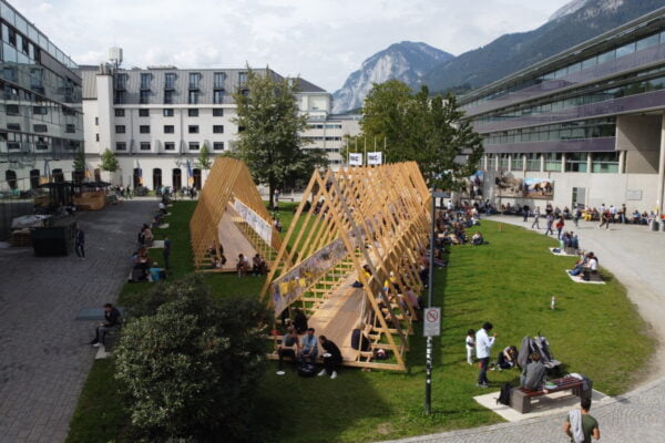
NAME:
SOWI - Garden
BUILDING:
SOWI
FLOOR:
0
TYPE:
Garden
CAPACITY:
2000
ACCESS:
Public Access
EQUIPMENT:
---
Glaciers are a significant indicator of climate change and one of the sources of fresh water. Glacier status monitoring is an important task for scientific research, especially in the arid regions of Central Asia. An archive of multispectral Landsat and ALOS/AVNIR-2 data as well as KH-9 and Catalogues data from 1957 and 1980s were used to identify glaciers in the mountain area of Uzbekistan for different periods and to analyze trends in glacier area until 2024. To extend the investigations to glacier surface elevation changes in the Pskem River basin, InSAR techniques were used with bistatic TanDEM-X datasets until 2014, DInSAR with TerraSAR-X /PAZ constellation for 2022-2023, SBAS with Sentinel -1 data and ASF DAAC HyP3 interferometric processing products until 2024. The test areas were the glaciers where glaciological expeditionary observations have been held: Barkrak Middle, Pakhtakor and Tekeshsay Glaciers. Different software and approaches were used to process SAR data. The satellite data – based results show that the mean surface lowering rate for 10 glaciers in the basin of the Pskem River tributary is -0,68 m/y from 2012 to 2014 and the corresponding annual mass balance is -1,08 m w.e. The Tekeshsay Glacier’s annual mass balance is -0,136 m w.e. in 2012-2014. The Pakhtakor Glacier mean surface lowering rate is −1,3 ± 0,5 m/y for 2000-2012. The daily lowering rate of the Barkrak Glacier surface is 2 mm/d from August to October of 2023 and will be compared to field data acquired during summer. Twelve-day alternations of glacier subsidence and uplift in summer were considered with meteorological information of the Oygaing Station which is located at the elevation of 2100 m. The observed glacier uplift can also be related to an avalanche release from surrounding slopes and glacier movement. RAMMS software was used to estimate avalanche depositions on the surface of the Barkrak and Pakhtakor Glaciers. Avalanche feeding could contribute with 4 to 40% to the Barkrak Glacier mass balance since 2017. The daily glacier movement velocity (up to 10 cm per day) was estimated using offset tracking with Sentinel-1 data and amplitude tracking with TerraSAR-X /PAZ data.
