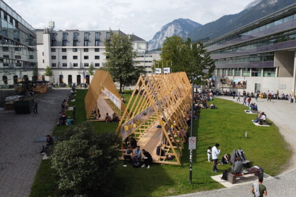
NAME:
SOWI - Garden
BUILDING:
SOWI
FLOOR:
0
TYPE:
Garden
CAPACITY:
2000
ACCESS:
Public Access
EQUIPMENT:
---
Glacier mass balance is a key parameter for assessing glacier health and understanding its response to climate change. Previous studies have utilized various satellite-based techniques, such as stereo imaging, InSAR, and altimetry, to estimate geodetic glacier mass balance. However, these methods are often limited by either temporal constraints or sensor resolution. In this study, we combined time-series elevation data from CARTOSAT-1 and ASTER (Advanced Spaceborne Thermal Emission and Reflection Radiometer) to provide an up-to-date geodetic glacier mass balance estimate for the period of 2002-2024. While ASTER, operational since 2000, offers spatial (30 m) and radiometric (8 bit) resolutions, CARTOSAT-1, which operated from 2005 to 2018, had superior spatial (2.5 m) and radiometric (10 bit) resolutions. To improve the accuracy of ASTER-based elevation change (dh/dt) data, we corrected the ASTER trend using the CARTOSAT-1 data from 2006-2018. We then applied this correction function to update ASTER observations from 2002-2024. When compared with in-situ glaciological mass balance measurements, our approach showed improved accuracy for ASTER-based geodetic mass balance estimates. Our study emphasizes the value of combining dh/dt time-series from different datasets to enhance the accuracy of glacier mass balance estimates with high temporal resolution, applicable across entire regions.

We and use cookies and other tracking technologies to improve your experience on our website. We may store and/or access information on a device and process personal data, such as your IP address and browsing data, for personalised advertising and content, advertising and content measurement, audience research and services development. Additionally, we may utilize precise geolocation data and identification through device scanning.
Please note that your consent will be valid across all our subdomains. You can change or withdraw your consent at any time by clicking the “Consent Preferences” button at the bottom of your screen. We respect your choices and are committed to providing you with a transparent and secure browsing experience.