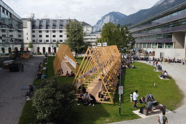
NAME:
SOWI - Garden
BUILDING:
SOWI
FLOOR:
0
TYPE:
Garden
CAPACITY:
2000
ACCESS:
Public Access
EQUIPMENT:
---
Paloma Palma Riveros1, Valentina Premier2, Carlo Marin2 and James McPhee1
Mountainous areas, such as the Andes Cordillera, are essential for the supply of fresh water due to their capacity to accumulate snow and release water during the warmer seasons. This process directly influences the provision of water for human consumption, irrigation, hydroelectric power generation, and ecosystem preservation. In the context of climate change, a reduction in the duration and extent of snow cover is projected, making it crucial to improve the models for predicting snowmelt and Snow Water Equivalent (SWE). High-resolution, distributed estimates of past SWE are valuable for evaluating predictive models, streamflow forecasting, and other applications. This study seeks to develop readily updated historical SWE based on remotely sensed data and melt models of varying complexity. We demonstrate this methodology on the mountainous sector of the Maipo River basin, where the main sub-basins exhibit hydrological regimes ranging from snow-dominated to mixed snow-rain. Three snowmelt estimation models are evaluated: one based on energy balance (Cornwell et al., 2016) and two based on a temperature index (Pellicciotti et al. 2005, Premier et al., 2023). These models are fed with meteorological data collected from snow monitoring stations within the basin, as well as Sentinel-2 satellite imagery, integrating variables such as temperature, solar radiation, and albedo. It is observed that all three approaches adequately or acceptably reproduce the SWE dynamics in the basin. However, each model exhibited specific strengths and limitations: the energy balance-based models demonstrated higher precision in short periods, while the degree-day factor model performed better in representing overall trends. The results highlight the importance of combining approaches based on meteorological and satellite data to model snowmelt, optimize water resource management, and respond to the challenges of climate change.

We and use cookies and other tracking technologies to improve your experience on our website. We may store and/or access information on a device and process personal data, such as your IP address and browsing data, for personalised advertising and content, advertising and content measurement, audience research and services development. Additionally, we may utilize precise geolocation data and identification through device scanning.
Please note that your consent will be valid across all our subdomains. You can change or withdraw your consent at any time by clicking the “Consent Preferences” button at the bottom of your screen. We respect your choices and are committed to providing you with a transparent and secure browsing experience.