A low-cost, replicable methodology that integrates remote sensing and household surveys to estimate both the residential population and its spatial distribution in an African urban setting.
Impact of Warming on Soil Nematode Community Structure in Alpine Meadows of the Arunachal Pradesh, Indian Eastern Himalayan Region: A Climate Change Perspective Using Open Top Chambers
Shifts in snow water equivalent, glacier melt runoff, have led to alterations in soil structure and local fauna, particularly affecting soil nematodes which are crucial for soil ecological processes.
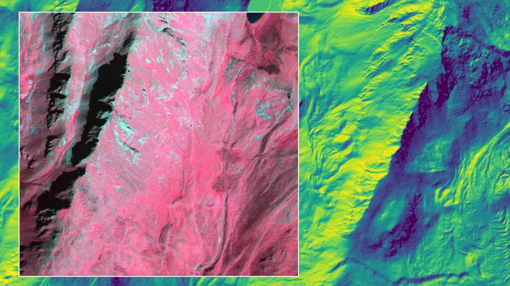
Mass balance estimation of patagonian glaciers using free open remote sensing sources
It is possible to measure mass loss in Patagonian glaciers using free open remote sensing sources, despite them appearing stable when observed with satellite images.
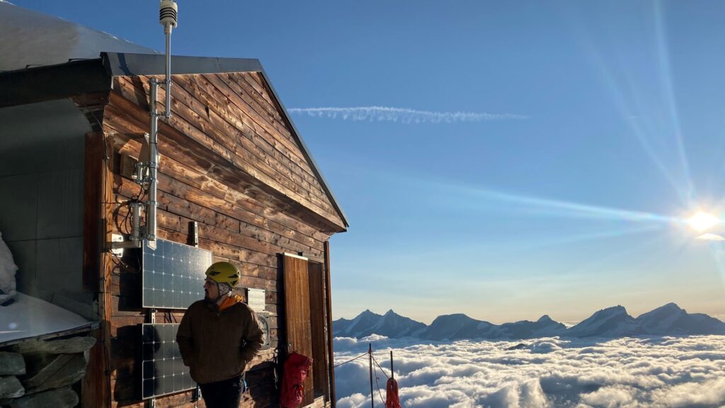
TIM Severe Storms Field Campaign – Thunderstorm Intensification from Mountains to Plains
This contribution presents an overview on the planned TIM Severe Storms Field Campaign, the first thunderstorm campaign of its size given the focus on complex topography effects.
Streamflow Dynamics in the Southern Appalachians: A Multi-Method Analysis Connecting Land Cover, Precipitation, and Topography in a Southern US Water Tower
Streamflow and precipitation trend, and land cover change analyses, was performed in drainage areas of the southern Appalachians, which serve as a source of water for the southeast USA.
Increased drying threatens alpine pond biodiversity more than temperature increase in a changing climate
We present the results of our investigation of the effects of variability in warming, drying, and habitat isolation (due to climate change) on the occupancy probabilities of alpine pond species.
Study of the diversity and distribution of marine Seagrass in the south-west of Madagascar
Seagrass, diversity, distribution, Ranobe Bay.