Abstract/Description
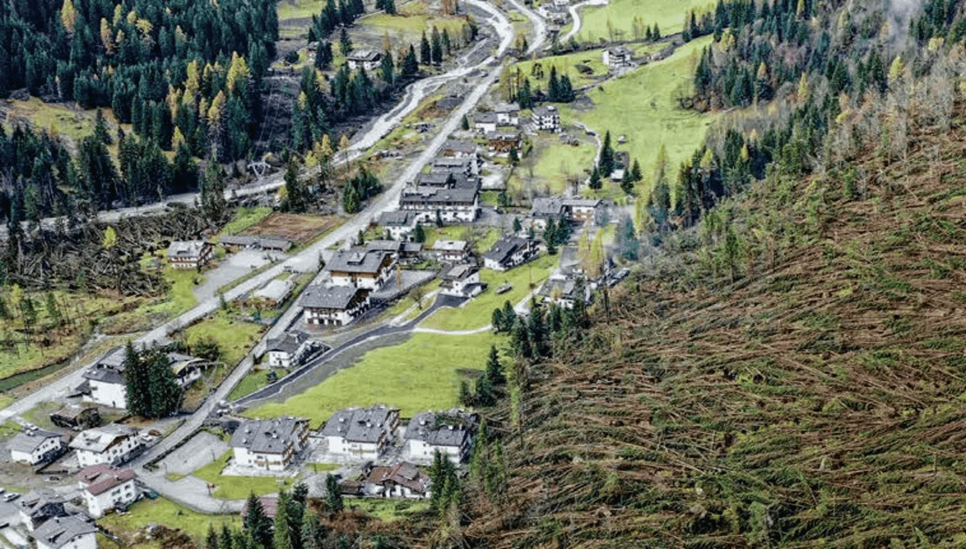
The tropical Andes of Colombia, particularly the Andes-Amazon transition region, is well known for being prone to compound mountain hazards like flash floods, debris flows, mountain torrents, and landslides. This is the result of the combination of geomorphology features associated with the steep slopes of the eastern flank of the eastern Andes cordillera in Colombia, hydrometeorological processes that produce large amounts of rainfall, and land use practices over the region. One of the most devastating debris flows in Colombia occurred during the early morning of April 1st, 2017. The 24-hour accumulated precipitation during this event corresponds to the fourth largest on record during the period 1984-2022, which, in conjunction with the precipitation accumulated during the previous 4 days, produced the overflow of the Mocoa, Mulato and Sangoyaco rivers. As a consequence, more than 600 shallow landslides were triggered, causing a huge debris flow with significant impacts, including more than 300 human casualties, more than 300 people injured, more than 3000 families affected, and about 12.500 toddlers and youths that lost access to education. However, this type of event was not considered in the pre-event local hazard map. This talk provides a general perspective of this compound event, characterized by a mesoscale convective system displacing from the Amazon, which strengthened due to the orographic lifting over the Andes slopes and a rapid intensification of the Orinoco low-level jet, triggering heavy precipitation and subsequent landslides. Here, we develop a diagnostics of the event based on multiple observational data and provide a storyline of how this type of events could change under global warming, following a Pseudo Global Warming approach. Moreover, this talk expands on the challenges of detecting and attributing compound events of this nature in a region with scarce information, highly vulnerable populations and ecosystems, and complex land use changes.


