


Sep, 18 2025 | 14:45 - 17:45
Zero-emission excursion of the #IMC25
September, 18 2025 | 14:45 - 17:45
Zero-emission excursion of the #IMC25
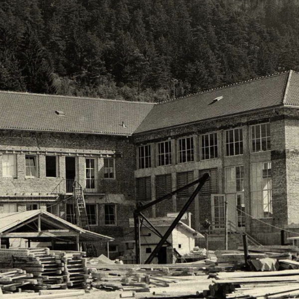
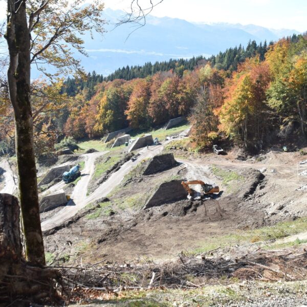
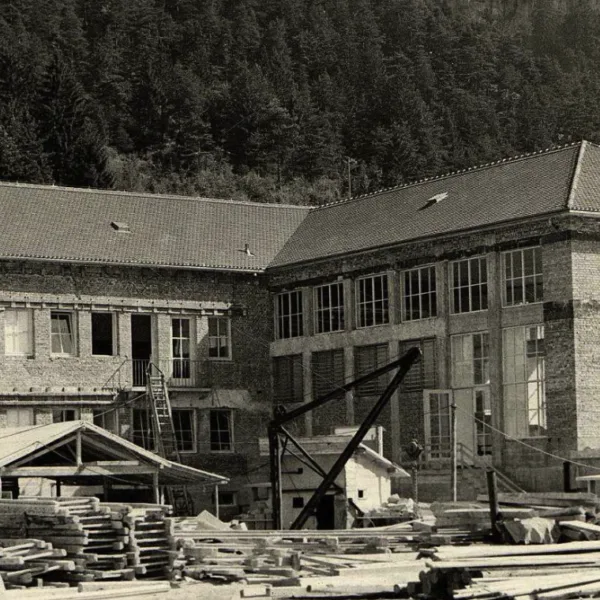
The #IMC workout (= excursion) will take us to Mühlau where one of the first drinking water power plants was established in 1951. Still today, this plant provides fresh water to many parts of Innsbruck and produces on average electricity of 32 Mio. kWh per year. We will then walk through a small valley which is a famous avalanche path. Before major projective structures were built, the avalanches even reached the settlement area of Innsbruck.
Once we have seen the protective structures and left the valley, we will hike to the so-called “Hermann Buhl Platz”, named after the famous Innsbruck alpinist Hermann Buhl. There, inputs on two topics will be presented:
Technification of mountains: In 1930, the plan for a narrow-gauge railway with a gauge of 38 cm took shape in Innsbruck. The Hafelekar, the Arzlerscharte, the Pfeis, the Stempeljoch up to the Lafatscherjoch were to be accessed by this steam railway line. The “Lilliputbahn at 2200 metres above sea level” was supposed to guarantee Tyrol and Innsbruck “eternal glory”. But the technical minimalism failed.
Politicization of the Mountain World: In the contemporary historical context of National Socialism, the propagandistic framework for Nanga Parbat was formulated by 1933 at the latest: a “German triumph on the mountain” underpinned the “superiority of the German race”. And so, in 1953, the contemporary press such as the “Arbeiter-Zeitung” classified the dispute between the mountaineer Hermann Buhl and the expedition leader Karl Herrligkoffer – or between the Austrian and the German – with open reference to this recent past: “The disciplined Germans were joined by the four headstrong Austrians.
Details about the Excursion
The afternoon excursion leads to Mühlau, a district of Innsbruck. From their, a small track leads through a steep valley and later to Hungerburg, another district of Innsbruck located 200 meters above the city center. From their, another track leads back to the #IMC venue.
| Meeting Point | 14:45 Entrance Congress Center >> POI Link (Google Maps) |
| Excursion Duration | ~3 hours |