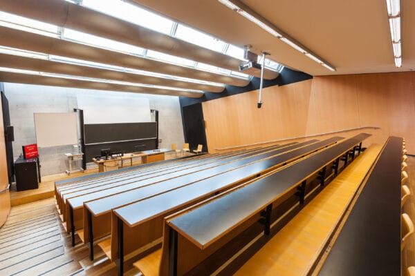
NAME:
SOWI - HS 3
BUILDING:
SOWI
FLOOR:
0
TYPE:
Lecture Hall
CAPACITY:
140
ACCESS:
Only Participants
EQUIPMENT:
Beamer, PC, WLAN (Eduroam), Overhead, Blackboard, Sound System, Microphones, Handicapped Accessible
Nunatsiavut is a mountainous and self-governing Inuit region in northern Labrador, Canada, home to the Torngat Mountains and featuring the highest mountains in mainland Canada, east of the Rocky Mountains. This region is experiencing rapid climate-driven environmental change, posing risks to Inuit livelihoods, culture, identity, health, and safety. These changes have profound implications for travel, subsistence hunting, and land use, highlighting the urgent need for locally grounded climate change adaptation and disaster risk reduction strategies.
This project weaves place-based Inuit knowledge of Cultural Keystone Places (CKPs) with repeat oblique photography to co-produce knowledge of long-term socio-ecological change. CKPs serve as critical indicators of environmental transformation, linking broad ecological shifts with local cultural and safety concerns. Through semi-structured interviews and participatory mapping, Inuit Knowledge Holders identified key places, described their changes, and contextualized the implications for adaptation and risk reduction.
Repeat historical oblique photographs provide a century-timescale record of landscape change, while offering higher-resolution elevation gradients in mountainous terrain than aerial imagery for quantitative analysis of landscapes. These images are also effective communication tools, presenting changes in a way that is immediately visible. Photograph pairs were analyzed quantitatively to measure changes in landcover including treeline advance, and shrub expansion. Pairs were then reviewed by Inuit Knowledge holders to contextualize and situate these changes within Inuit Knowledge. By weaving scientific analysis with Inuit Knowledge, this research fosters dialogue between diverse knowledge systems to co-produce insights for community-driven adaptation.
This talk will present findings from both Inuit Knowledge and photo pair analysis, revealing the long-term impacts of socio-ecological change and their implications for risk reduction and adaptation planning. By strengthening community-based knowledge-sharing and co-producing climate knowledge, this work contributes to the development of locally tailored, culturally relevant resilience strategies for Nunatsiavut communities.
