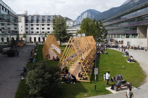
NAME:
SOWI - Garden
BUILDING:
SOWI
FLOOR:
0
TYPE:
Garden
CAPACITY:
2000
ACCESS:
Public Access
EQUIPMENT:
---
Global glacier mass loss can have adverse effects on slope stability due to the thermodynamic, mechanical, and hydrological changes occurring in the subsurface during and following glacier disappearance. In Alaska, glacier mass loss is particularly rapid and the close proximity of unstable slopes to the termini of rapidly retreating marine- or lake-terminating glaciers means that some landslides pose a tsunami risk. One such case is at Portage Glacier, Southcentral Alaska, where two large, active landslides border a rapidly thinning and retreating glacier adjacent to a deep lake. At this site, we seek to understand the factors controlling slope motion at weekly to seasonal time scales, and how those controls evolve over time.
We conducted measurements over the course of three years, installing geophones, GNSS receivers, and a time-lapse camera to monitor the landslides, as well as ablation stakes on the glacier. A nearby weather station provides meteorological measurements at up to hourly resolution. These data are supplemented by high-resolution DEMs and satellite imagery. We localize rockfall events using the seismic data and compare this to movement hotspots using feature tracking of the time-lapse imagery, which we put into context with slope velocities from the GNSS, local precipitation events, as well as periods of higher melt rates or faster glacier velocities.
The combined datasets provide a holistic picture of the various ongoing processes within these landslides, allowing us to disentangle destabilization mechanisms related to debuttressing, glacial erosion, pore water pressure variations, and seismic activity.
