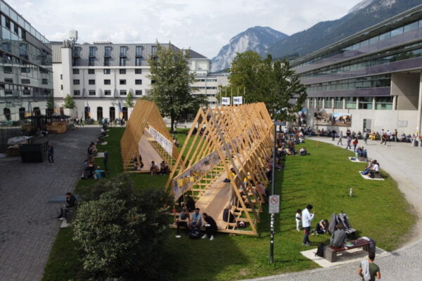
NAME:
SOWI - Garden
BUILDING:
SOWI
FLOOR:
0
TYPE:
Garden
CAPACITY:
2000
ACCESS:
Public Access
EQUIPMENT:
---
The interaction between forests and snow occurs in different regions of the world and plays a crucial role in the hydrological cycle, as forests modify the mass and energy balance of the snow cover and, consequently, key processes such as snowmelt and its contribution to river flow. This topic has been widely studied in the Northern Hemisphere (NH), but in the Southern Hemisphere (SH), there are very few studies on the subject. In this region, the extent of this interaction is more limited than in the NH, and the dominant forest species are different. Additionally, these vegetation-snow interaction zones in the SH are often associated with key biodiversity hotspots. This study aims to represent the snowpack using two models: the Factorial Snow Model (FSM) version 2.1.0 at a point scale and the Canadian Hydrological Model (CHM) at a spatial scale in a vegetation-snow interaction zone located at latitude -36.9° S in the Andes Mountains. The region has a cold Mediterranean climate with winter precipitation, an average annual precipitation of 2400 mm, and a deciduous forest with species of the Nothofagus genus. The FSM model is used to verify whether the default parameterizations in this new version of the model can accurately represent the in situ measured snow depth at the study site, while the CHM model is used to spatially represent the snowpack. To implement CHM, we used the ALOS PALSAR DEM, the Land Cover Map of Chile, and the CLSoilMaps soil type product to generate the grid. For meteorological data, we used CR2MET and the ECMWF-HRES product. We conducted experiments with the CHM model, both with and without wind-driven snow transport. We validate the model results with satellite images of snow cover and point measurements of snow depth. Preliminary results show significant spatial variability in snow cover, highlighting major challenges in accurately representing snow cover in forested areas.

We and use cookies and other tracking technologies to improve your experience on our website. We may store and/or access information on a device and process personal data, such as your IP address and browsing data, for personalised advertising and content, advertising and content measurement, audience research and services development. Additionally, we may utilize precise geolocation data and identification through device scanning.
Please note that your consent will be valid across all our subdomains. You can change or withdraw your consent at any time by clicking the “Consent Preferences” button at the bottom of your screen. We respect your choices and are committed to providing you with a transparent and secure browsing experience.