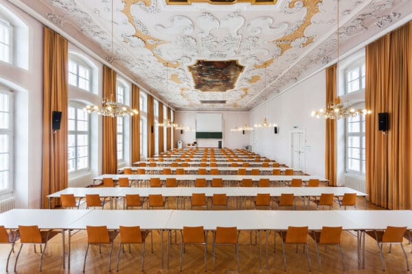
NAME:
Theologie - MS
BUILDING:
Theologie
FLOOR:
2
TYPE:
Lecture Room
CAPACITY:
108
ACCESS:
Only Participants
EQUIPMENT:
Beamer, PC, WLAN (Eduroam), Overhead, Flipchart, Blackboard, Handicapped Accessible, LAN, Microphones, Sound System
Over the last four years, members of the Iyarhe (Stoney) Nakoda Nation and the Mountain Legacy Project have collaborated on repurposing a colonial photographic archive to support Indigenous resurgence. Through archival research, a systematic collection of high-resolution historical (1861 to 1958) images has been used to reinforce Stoney ties to the lands around present-day Banff National Park, Alberta, Canada. Combined with repeat photographs showing the landscape as it is today, the images provide a powerful testimony of change and urge us to look to a future of Indigenous-led land management. In this presentation we will report on several applications for historical and repeat photographs including: youth and Elder engagement; place naming; and landscape change analysis using custom software tools developed at the University of Victoria.
We and use cookies and other tracking technologies to improve your experience on our website. We may store and/or access information on a device and process personal data, such as your IP address and browsing data, for personalised advertising and content, advertising and content measurement, audience research and services development. Additionally, we may utilize precise geolocation data and identification through device scanning.
Please note that your consent will be valid across all our subdomains. You can change or withdraw your consent at any time by clicking the “Consent Preferences” button at the bottom of your screen. We respect your choices and are committed to providing you with a transparent and secure browsing experience.