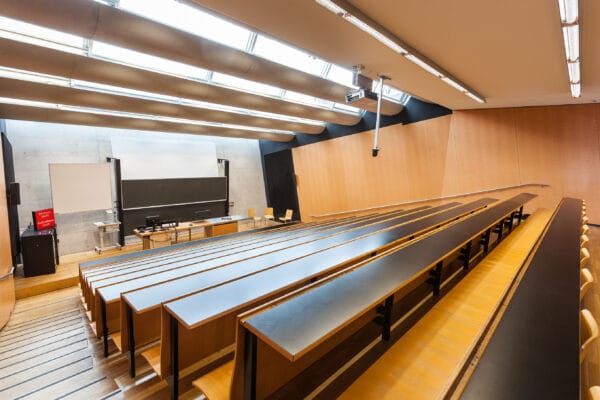
NAME:
SOWI - HS 3
BUILDING:
SOWI
FLOOR:
0
TYPE:
Lecture Hall
CAPACITY:
140
ACCESS:
Only Participants
EQUIPMENT:
Beamer, PC, WLAN (Eduroam), Overhead, Blackboard, Sound System, Microphones, Handicapped Accessible
The Belvedere Glacier (Monte Rosa East face, Western Italian Alps) is a debris-covered valley glacier surrounded by steep peaks reaching 4,000 m a.s.l. Climate-driven instabilities have caused significant morphological changes, increasing risks to the nearby municipality of Macugnaga. An extraordinary surge-type evolution of the Belvedere Glacier in summer 2002, was responsible for a rapid increase of ice thickness along the 4 km long glacial tongue and the formation of a huge supraglacial lake known as “Effimero Lake” which drained in summer 2003. Starting from 2005, the atypical ice thickening related to the surge was followed by a dramatic shrinking of the glacial tongue with an ice thickness loss of over 70 meters until now. This resulted in a generalized destabilization of LIA moraines, as well as a reactivation of ancient moraine destabilization phenomena which were considered stabilized until a few years ago. In recent years, extreme weather events have further impacted the Belvedere Glacier basin. A large debris flow originated from the Castelfranco gully occurred in August 2023, involving ~200,000 m³ of material that accumulated on the glacier and in the Anza River’s bed, altering hydrological dynamics. Severe floods in June and September 2024 mobilized debris, triggering significant damage in Macugnaga. Since 2015, the Belvedere Glacier has been extensively monitored with yearly UAV photogrammetric surveys and in-situ GNSS measurements. This effort was led by Politecnico di Milano and Politecnico di Torino. UAV surveys produced decimetric-accurate 3D photogrammetric models of the glacier and the LIA moraines, while historical aerial images (1977, 1991, 2001) were digitized and processed to reconstruct the glacier’s long-term evolution, including the surge period. The comparison of multitemporal photogrammetric models, combined with conventional field measurements, enabled the estimation of the glacier’s annual net mass balance and a detailed assessment of its morphological evolution over the past decade. High-resolution 3D models allowed for the detection and quantification of the reactivation of LIA moraine mobilization, which had previously stabilized after the surge event. Post-event surveys further provided precise measurements of debris accumulation on the glacier, and the effects of the moraine disintegration, and broader geomorphological changes within the glacier basin.
