NAME:
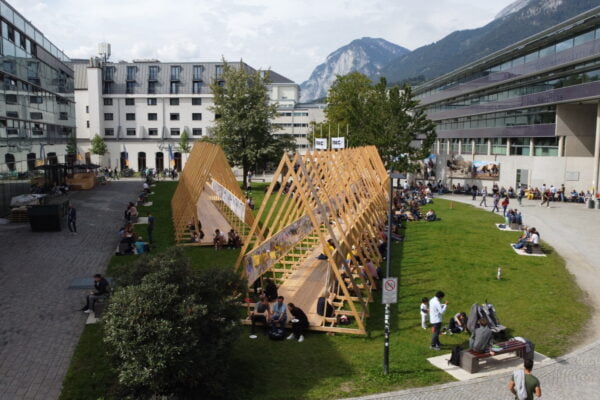
SOWI - Garden
BUILDING:
SOWI
FLOOR:
0
TYPE:
Garden
CAPACITY:
2000
ACCESS:
Public Access
EQUIPMENT:
---
The Desbosiguem! project (01/04/2024-31/03/2027, www.poctefa.eu/proyectos/efa089-01-id-desbosiguem/), funded by FEDER through the EU’s Interreg POCTEFA programme, aims to reshaping unproductive environments in the Pyrenees through grazing, in order to develop integrated solutions for reopening the landscape, restoring pastures and reducing fire risk. In the case of the Pyrenees, the combination of rising temperatures, longer and more intense droughts and changes in land use, increases the risk of major forest fires. With the objective to improve both fire risk management, biodiversity conservation and the rational use of pastures and forest resources, in this project we use NetLogo (ccl.northwestern.edu/netlogo/), a multi-agent programmable modeling environment used by many hundreds of thousands of researchers worldwide (and downloadable free of charge) to implement a cellular automaton that models fire spread in this transboundary mountain region shared by Spain, France and Andorra: the Desbosiguem! fire spreading model (DFS model). Unlike other much more complex (in terms of computational resources and data usage) fire models, the DFS model that we present in this contribution, considers two parameters (input maps): topography and a loose definition of probability of spread based on canopy cover, to define open and closed forest spaces. This low computational complexity and remarkable accuracy in reproducing historical wildfires in the region makes the DFS model a useful decision – support system for evaluating the relative effects of alternative management scenarios.
