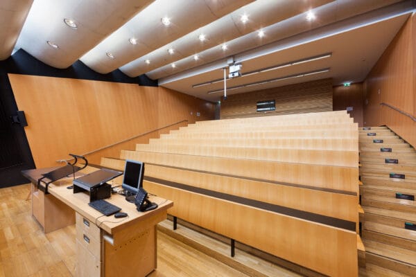
NAME:
SOWI - HS 2
BUILDING:
SOWI
FLOOR:
0
TYPE:
Lecture Hall
CAPACITY:
80
ACCESS:
Only Participants
EQUIPMENT:
Beamer, PC, WLAN (Eduroam), Overhead, Flipchart, Blackboard, Sound System, Handicapped Accessible, Light Installation
Andean tropical glaciers are important indicators of climate change, provide freshwater resources for downstream communities, and form an important component of the hydrological cycle, supporting some 90 million people. Today, with highly seasonal precipitation and drought, Andean glacier ice, snow, wetlands (bofedales) and lakes play a crucial role in delaying water release, sustaining baseflows and water quality. Glacier shrinkage and changing precipitation patterns and water availability here impacts both high Andean pastoralist systems and other, downstream productive systems, including bigger cities in the inter-Andean valleys. Here we outline the hydrological and geomorphological relationships between glaciers, high-altitude wetlands and downstream hydrology in the Cordillera Vilcanota, Cuzco region, Peru. We present a new geomorphological map of glacial and hydrological features within the Vilcanota catchment. Across this domain we mapped ~23,000 features across seven key landform assemblages: topographic, glacier, subglacial, ice-marginal, fluvial, lacustrine and paraglacial. Our reconstructed maximum icefield covers 2660 km2 and was drained by 11 topographically constrained ice lobes across the region. Our geomorphic mapping reveals seven clear ice margins, morphostratigraphically correlated across the study region, reflecting at least seven palaeoglacier advances during the last glacial cycle, Late Glacial period and the Holocene. Understanding the dynamics and patterns of behaviour of tropical palaeoglaciers is important for interpreting their sensitivities and vulnerabilities. Furthermore, we investigate the way in which the mapped geomorphic features such as moraines, talus slopes and sandar interact with catchment hydrology and impact hydrogeological processes. Bofedales are well developed within glacial limits, with glacial processes such as erosion and formation of moraines providing the poorly drained conditions suitable for their development. The majority of the bofedales are largely hydrologically independent of contemporary glaciers, and could partially buffer water supplies as glaciers dwindle and disappear. This analysis enables an improved understanding of the timeframe for the formation of bofedal wetlands and for them to provide their key ecosystem services of water retention capacity, buffering drought, providing forage for high-Andean livestock herding, carbon storing and sequestration. These insights have implications for the
