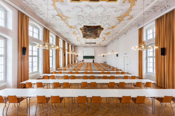
NAME:
Theologie - MS
BUILDING:
Theologie
FLOOR:
2
TYPE:
Lecture Room
CAPACITY:
108
ACCESS:
Only Participants
EQUIPMENT:
Beamer, PC, WLAN (Eduroam), Overhead, Flipchart, Blackboard, Handicapped Accessible, LAN, Microphones, Sound System
The role of spatial planning in finding acceptable negotiated solutions for the protection and development of complex transnational territories, where different regional and local interests such as the Alpine space converge, is crucial. Under such conditions of spatial complexity, there are common issues that can act as drivers and catalysts for the achievement of the global goal of a Europe Carbon Neutral 2050 The green infrastructure system (GI), declined in the geographic articulation of the Alpine region, now recognised covering a huge area, from the Alpine Convention (14 M/inhabitants) to the macro region of the EUSALP (80 M/inhabitants), is an important matter for analysis and policy development, because it includes all that is complex and articulated characterising the mosaic of the Alps A number of research and activities such as the PlanToConnect Alpine Space project, the ESPON InterAlp research, the outcomes of the Working Group Spatial Planning and Sustainable Development of the Alpine Convention, have highlighted some common elements related to the role of GI also with the apparently paradoxical conflict between the need to environmental protection and the development of renewable energies in the context of ecologic transition. In the diversity of geography, culture and governance responsibilities that make up the Alpine territorial system a common structural matrix based on elements of GI in their complexity and transcalarity should be recognised the common challenge to find out shared solutions by spatial planning tools
We and use cookies and other tracking technologies to improve your experience on our website. We may store and/or access information on a device and process personal data, such as your IP address and browsing data, for personalised advertising and content, advertising and content measurement, audience research and services development. Additionally, we may utilize precise geolocation data and identification through device scanning.
Please note that your consent will be valid across all our subdomains. You can change or withdraw your consent at any time by clicking the “Consent Preferences” button at the bottom of your screen. We respect your choices and are committed to providing you with a transparent and secure browsing experience.