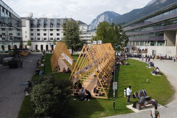
NAME:
SOWI - Garden
BUILDING:
SOWI
FLOOR:
0
TYPE:
Garden
CAPACITY:
2000
ACCESS:
Public Access
EQUIPMENT:
---
Global climatic change will increase the frequency and intensity of forest fires in mountain regions, even affecting areas that have historically been at low risk. This is the case of the Pyrenees, a transboundary mountain region shared by Spain, France and Andorra, where the combination of rising temperatures, longer and more intense droughts and changes in land use, is leading to an increased risk of major forest fires. In this context, fire risk management, biodiversity conservation and the rational use of pasture and forest resources are of key importance. The Desbosiguem! project (01/04/2024-31/03/2027, poctefa.eu/proyectos/efa089-01-id-desbosiguem/), funded by FEDER through the EU’s POCTEFA programme, aims to combine the experience of neighbouring countries Andorra and Spain in managing unproductive environments with the experience of France in restoring and maintaining these areas through grazing, in order to develop integrated solutions for reopening the landscape, restoring pastures and reducing fire risk. One of the outputs of the project is the provision of fire modelling tools to support rural managers in Catalonia, Andorra and Occitanie. The starting point of these modelling tools is the Desbosiguem! dataset, which will be available through the geo-portal of the Pyrenees Climate Change Observatory (opcc-ctp.org/geoportal). It includes the historical forest fires of the high Catalan-Andorran-Occitan Pyrenees, covering the cross-border area formed by the Pallars Sobirà, Cerdanya and Alt Urgell in Catalonia, the Principality of Andorra and Ariège in Occitanie. This contribution describes the Desbosiguem! dataset, the process of data homogenisation from different countries and provides a preliminary analysis of this cross-border dataset.
