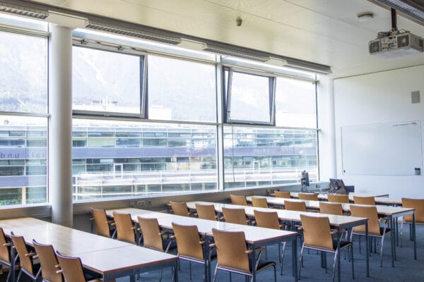
NAME:
MCI - SR 303
BUILDING:
Management Center Innsbruck
FLOOR:
3
TYPE:
Seminar Room
CAPACITY:
54
ACCESS:
Only Participants
EQUIPMENT:
Beamer, Handicapped Accessible, PC, Sound System, Whiteboard, WLAN (Eduroam), Microphones
Time-lapse gravimetry (TLG) is a non-invasive, integrative, geophysical/geodetic method in which changes in g can be measured to parts-per-billion precision. Measured gravity changes are, in part, the result of water/ice storage changes. Thus, TLG can be a powerful tool for the monitoring of the two hydrological components of alpine systems that are the most difficult to quantify: ground ice and groundwater.
We recently carried out the first periglacial application of TLG. At the well-known Murtèl rock glacier (Graubünden, Switzerland), we measured seasonal gravity changes in the July to September period and used UAV photogrammetry to correct for the effect of snow mass. Our results reveal spatial variations in active layer thaw (11 to 64 cm water equivalent) that would be challenging to observe directly. Comparison of our high precision data with a historic gravimetry survey also suggests the occurrence of permafrost degradation over the past three decades.
At other Alpine sites, we have employed TLG to monitor groundwater storage recession during the summer/autumn snow-free period. The gravimetry data provide quantitative insights into groundwater storage that would typically require extensive borehole infrastructure to obtain. TLG is a unique and effective method for quantifying subsurface storage variations and is particularly well-suited for alpine regions due to their pronounced annual hydrological variability and insufficient subsurface monitoring.
We and use cookies and other tracking technologies to improve your experience on our website. We may store and/or access information on a device and process personal data, such as your IP address and browsing data, for personalised advertising and content, advertising and content measurement, audience research and services development. Additionally, we may utilize precise geolocation data and identification through device scanning.
Please note that your consent will be valid across all our subdomains. You can change or withdraw your consent at any time by clicking the “Consent Preferences” button at the bottom of your screen. We respect your choices and are committed to providing you with a transparent and secure browsing experience.