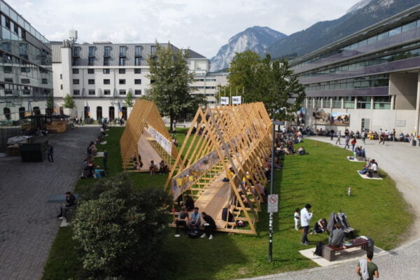
NAME:
SOWI - Garden
BUILDING:
SOWI
FLOOR:
0
TYPE:
Garden
CAPACITY:
2000
ACCESS:
Public Access
EQUIPMENT:
---
Floods and rainstorms are closely related since extreme rainfall often leads to flooding. Therefore, a deeper understanding of rainfall variability during these events is critical for improving flood forecasting. Rainfall variability is exacerbated in mountainous areas, such as the tropical Andes, where complex orography and atmospheric processes influence rainfall patterns. The analysis of extreme rainfall events in the Ecuadorian Andes has remained a challenge due to the lack of high spatio-temporal resolution data. However, the recent availability of rainfall radar data in this region presents the possibility of improving our knowledge about these extremes. Recently, high-resolution extreme rainfall events in the Tropical Andes have been classified into three groups based on the similarities of their rainfall characteristics (i.e., rainfall accumulation, maximum intensity, and month of occurrence). This study aims to analyze the spatio-temporal patterns within these three groups of extreme rainfall events (i.e., class 1, class 2 and class 3) using high-resolution (5-minute) X-band radar data. This study was carried out with three years of data, from April 2015 to June 2017 and December 2020 to March 2022. The study was conducted in the headwaters of the Paute River basin (2200-4400 m a.s.l) in the south of Ecuador. Extreme rainfall event characteristics (e.g., rainfall intensity, tracking individual storm cores, and the area of the storm) were identified for each event. Class 1 showed the highest values of rainfall intensity (40 mm/5 min), while Class 3 showed the lowest values (20 mm/5 min). Additionally, extreme events in Class 1 occurred between 11:00 and 20:00, with rainfall peaks around 14:00 to 16:00, while extreme events in Classes 2 and 3 occurred throughout the day. However, the intensities during the morning (00:00 to 10:00) remained below 2 mm/5 min. Also, Class 1 showed predominant months of occurrence (October-December). This is the first study that explores the intra-event rainfall characteristics with high spatio-temporal resolution. It enhances our understanding of extreme rainfall behavior and can improve flood forecasting in the tropical Andes.
