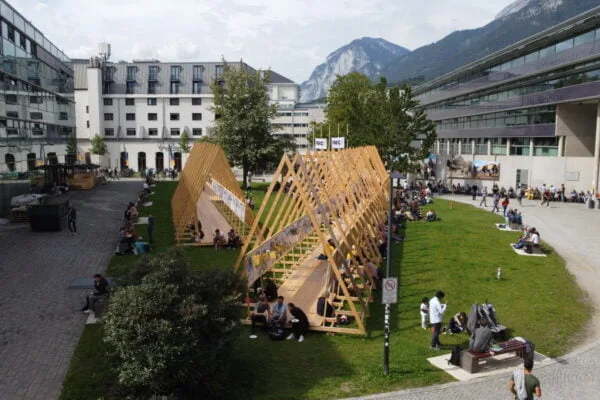
NAME:
SOWI - Garden
BUILDING:
SOWI
FLOOR:
0
TYPE:
Garden
CAPACITY:
2000
ACCESS:
Public Access
EQUIPMENT:
---
The Rutor Glacier, one of the largest in the Aosta Valley, Italy, has been extensively monitored over the last few decades. This study presents a comparative analysis of glaciological and geodetic mass balance methods for the period 2008–2024, aimed at evaluating the transition from a purely glaciological to a purely geodetic approach and assessing the consistency of the historical mass balance series by examining differences in cumulative mass balance. Glaciological mass balance measurements from 2005 to 2019 were conducted using direct measurements of snow depth and density at the end of winter and ice melt using stakes and residual snow at the end of summer. From 2020 to 2024, a hybrid approach was adopted, combining a predominantly glaciological method for the accumulation area—ensuring precise estimates of snow density—with a geodetic method for the ablation area to obtain accurate and spatialized estimates of ice volume changes by using Difference of DEM (DoD). Thanks to the availability of DEMs and a historical mass balance dataset, starting from 2005, this study aims to compare the cumulative mass balance data derived from both approaches. The 2008 DEM, produced using LiDAR technology with a ground resolution of 2 meters, and the 2024 DEM, obtained from aerial surveys with a 0.5-meter resolution, were coregistered to ensure accurate alignment. The calculation of the DEM difference allows for a more precise estimation of volume changes over the 16-year period. The study aims to assess the consistency of the historical mass balance data series by analyzing differences in cumulative balance between the two approaches: the glaciological approach, which divides the glacier surface into areas with homogeneous behavior, and the geodetic approach, applied to a single area covering the entire glacier. This integrated approach emphasizes the strengths and limitations of each method and highlights the importance of combining complementary techniques for accurate glacier monitoring. The findings contribute to ongoing efforts to improve mass balance assessment methods and enhance the understanding of glacier dynamics in the face of climate change.

We and use cookies and other tracking technologies to improve your experience on our website. We may store and/or access information on a device and process personal data, such as your IP address and browsing data, for personalised advertising and content, advertising and content measurement, audience research and services development. Additionally, we may utilize precise geolocation data and identification through device scanning.
Please note that your consent will be valid across all our subdomains. You can change or withdraw your consent at any time by clicking the “Consent Preferences” button at the bottom of your screen. We respect your choices and are committed to providing you with a transparent and secure browsing experience.
Notifications