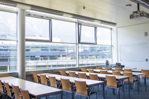
NAME:
MCI - SR 303
BUILDING:
Management Center Innsbruck
FLOOR:
3
TYPE:
Seminar Room
CAPACITY:
54
ACCESS:
Only Participants
EQUIPMENT:
Beamer, Handicapped Accessible, PC, Sound System, Whiteboard, WLAN (Eduroam), Microphones
Mountainous environments pose significant challenges for subsurface hydrological investigations due to their complex topography, unstable terrain, and variable hydrological conditions. In glacierized catchments, buried ice and permafrost can act as impermeable barriers, influencing groundwater pathways and meltwater storage. However, mapping these features remains challenging, particularly in deglaciating valleys where debris cover complicates remote sensing interpretations. We present a multi-method geophysical approach combining drone-based ground-penetrating radar (GPR), electrical resistivity tomography (ERT) with induced polarization (IP), and surface nuclear magnetic resonance (sMNR) to improve subsurface hydrological mapping in a rapidly changing mountain environment. ERT and IP provide high confidence in distinguishing buried ice from sediments and rock debris, though they are limited by logistical constraints and survey coverage. Drone-based GPR enhances measurement density and accessibility in unstable terrain, while sMNR, the only geophysical method solely sensitive to liquid water, can detect groundwater presence constrained by buried ice. This methodological integration allows for improved characterization of subsurface heterogeneity in a deglaciating valley in the Yukon, Canada. Our findings highlight the necessity of combining multiple geophysical techniques to advance hydrological mapping in glacierized catchments, offering new insights into water storage and transfer in mountain environments.
We and use cookies and other tracking technologies to improve your experience on our website. We may store and/or access information on a device and process personal data, such as your IP address and browsing data, for personalised advertising and content, advertising and content measurement, audience research and services development. Additionally, we may utilize precise geolocation data and identification through device scanning.
Please note that your consent will be valid across all our subdomains. You can change or withdraw your consent at any time by clicking the “Consent Preferences” button at the bottom of your screen. We respect your choices and are committed to providing you with a transparent and secure browsing experience.